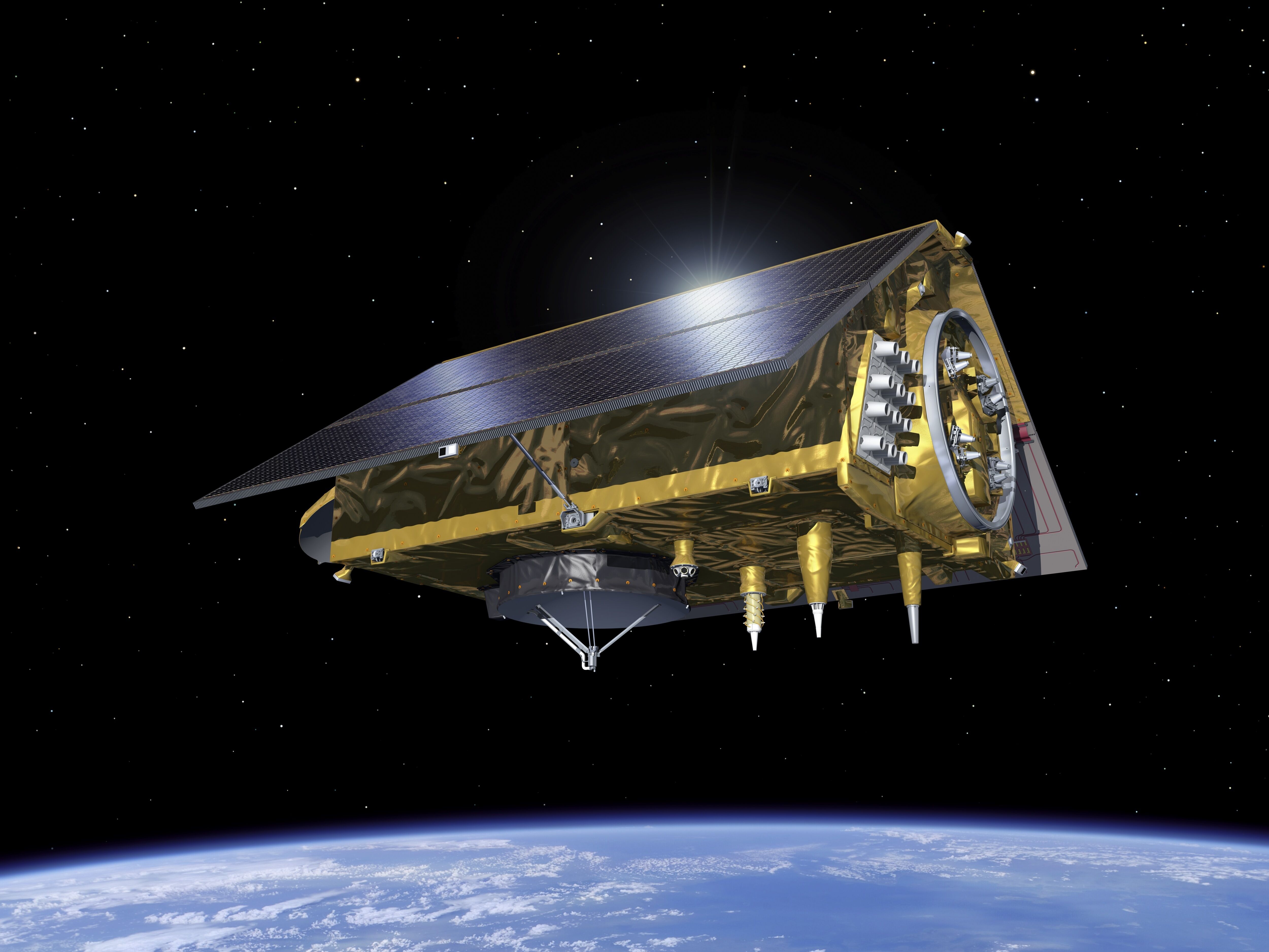
Sentinel-6Artist's Impressions - Various
Artist's view of Sentinel-6
Please sign in to download.
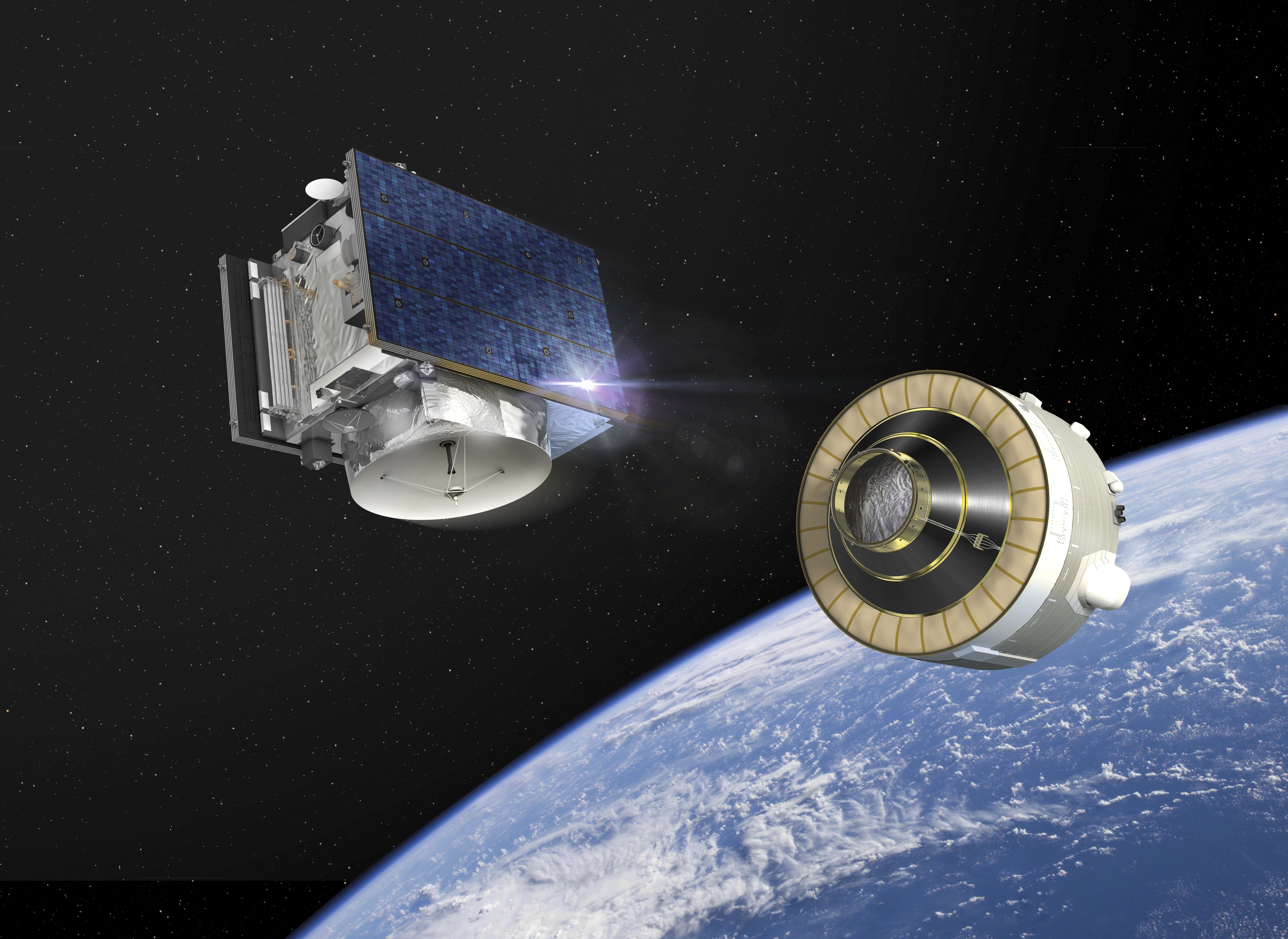
Sentinel-6 carries a radar altimeter to provide high-precision and timely observations of the topography of the global ocean. This information is essential for the continued monitoring of changes in sea level, a key indicator of climate change. It is also essential for operational oceanography. Mapping up to 95% of Earth’s ice-free ocean every 10 days, it offers vital information on ocean currents, wind speed and wave height for maritime safety. The data are also important for protecting and managing the increasingly busy coastal zones. Sentinel-6 builds on heritage from the Jason series of ocean topography satellites and from ESA’s CryoSat mission. Importantly, this new mission is designed to complement ocean information from Sentinel-3.
Related
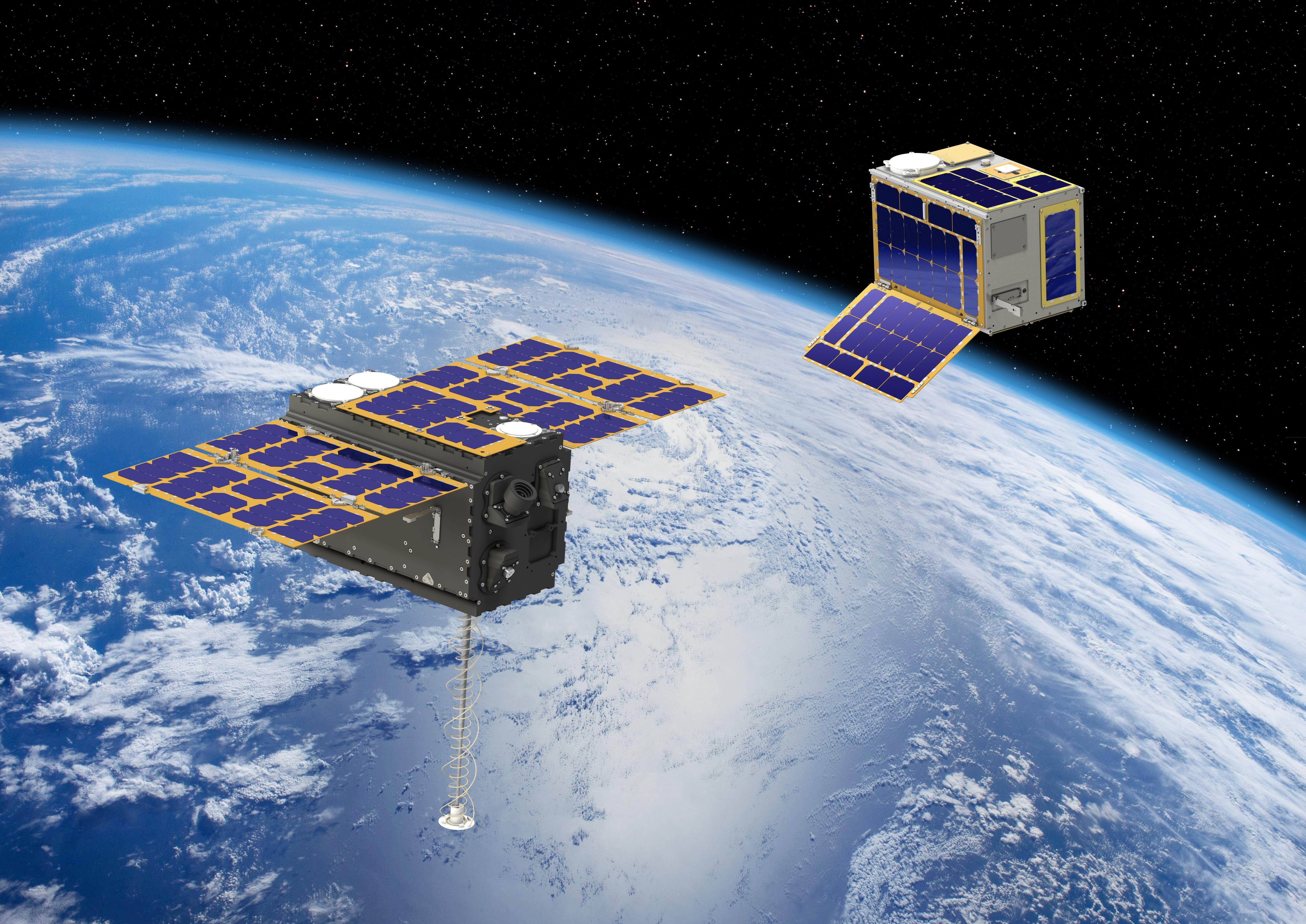
Hera spacecraft

Hera uses infrared to scan impact crater

Hera heads into space

Milani studies asteroid dust

Hera scans Dimorphos with its laser altimeter

Hera scans DART’s impact crater

Hera networking with CubeSats

Hera glides past Didymos to Dimorphos

Hera approaches Dimorphos

Hera deploying CubeSats

Hera and its CubeSats at Didymos system

Hera, her CubeSats, and their rocky target destination

Mars seen from Hera's top 'asteroid deck'

Juventas studies asteroid's internal structure

Hera's instruments on its top 'asteroid deck'

Hera's Mars swingby
